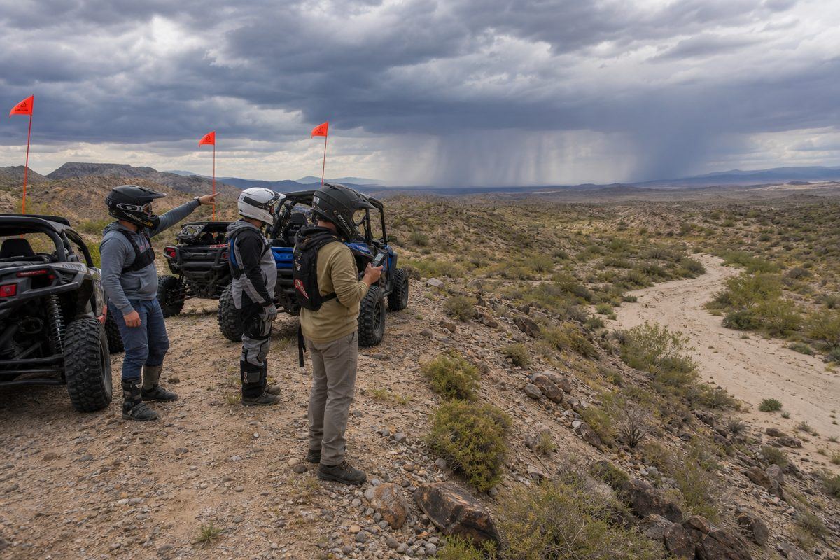
Build the ride around the whole group., Hot Well Arizona Dune Guide

Mixed terrain rewards restraint

Build the ride around the whole group.

The desert here punishes three things: running out of water, being in a wash at the wrong moment, and assuming somebody can phone for help.

Heat is the primary hazard

Southern Arizona heat is the thing most likely to hurt somebody here, and it does it gradually enough that people talk themselves out of noticing. Carry far more water than the forecast suggests, ride the cooler ends of the day, and build real rest into the plan. Know what heat exhaustion looks like in somebody who insists they are fine.

The tubs are hot, and you are already dehydrated

106 degree water after a long day in the sun is not the recovery it feels like. Soaking raises core temperature and speeds fluid loss, so drink water before and after, keep sessions shorter than you want to, and do not soak alone or after drinking. This is the least obvious risk on the site.

A dry desert wash at Hot Well Dunes with storm cloud building far upstream, the situation that produces flash flooding
Illustration of flash-flood risk in a desert wash. Not a documentary photograph.

Washes flood from weather you cannot see

Desert drainages carry water from storms happening miles away, under a clear sky overhead. Never camp in a wash, never shelter in one, and never assume dry ground stays dry during monsoon season. If water is moving in a wash, wait rather than crossing.

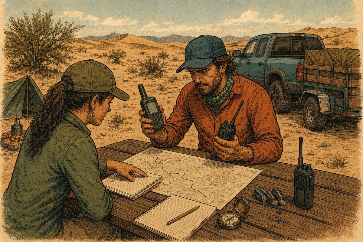
Two campers prepare a satellite communicator, radios, paper route plan, compass and spare batteries before riding
Illustration of a communication plan that does not depend on cellular service.

Assume no cell service

Download maps, the BLM page, and your route before you leave Safford. Carry a communication plan that works without a signal, tell somebody not on the trip where you are and when you will be back, and share camp coordinates with every driver in the group.

Set your camp location →

Brush hides everything

Mixed desert terrain means vegetation along the trail conceals rocks, holes, and oncoming riders. Slow down where the trail narrows and treat every rise and dust cloud as though something is behind it. BLM asks for a flag at least 6 by 12 inches, mounted 8 feet above the ground, and Arizona requires helmets for riders under 18 on public land.

Watch where hands and feet go

Check shade, rocks, gear, and boots before reaching or stepping. Snakes and scorpions use the same cool spots you do, and they are most active in the same warm evenings you want to be outside in.

Lead, sweep, and turn back early

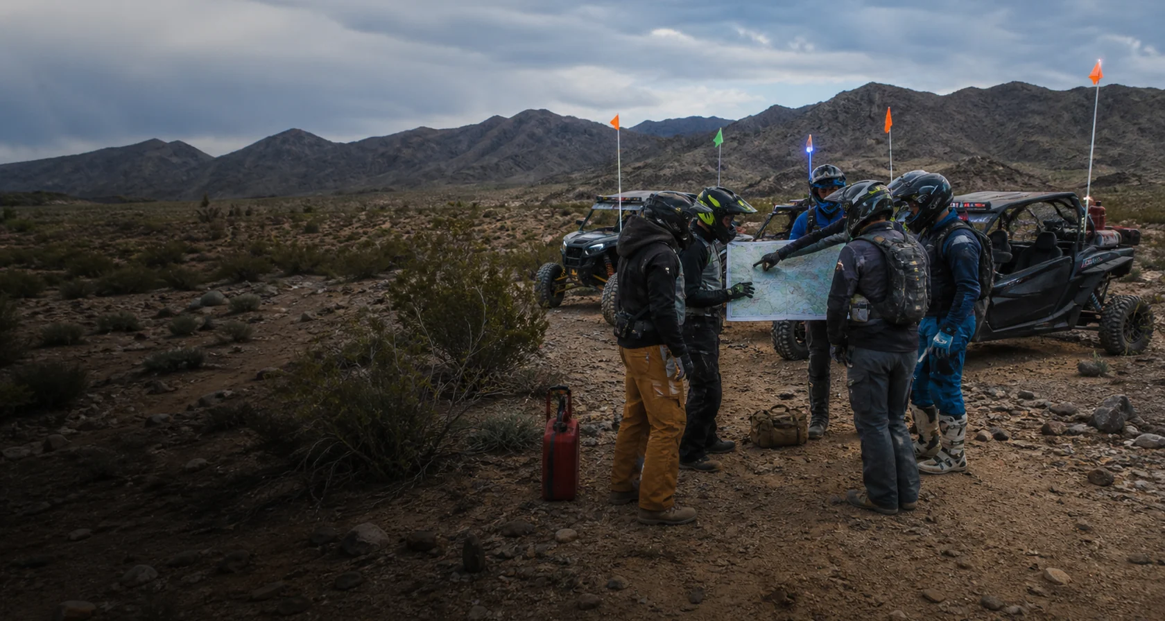
Assign a lead and sweep rider, agree a channel, and stop at every junction until the rider behind sees the route. Carry rated recovery gear, tools, and a first aid kit. Heat, a mechanical warning, fading light, or a tired rider all end the day, and Safford is far enough away that ending early is the cheap option.

Set up satellite SOS before you need it

This is the destination on the network where this matters most, because there is effectively no cell service here. An iPhone 14 or later can text emergency services over satellite with no signal at all, and Apple has repeatedly extended the free period, most recently into late 2026. Check what your own device has rather than assuming. Practise with the demo mode outdoors under open sky before you leave Safford, because an emergency is a terrible time to learn a menu. In a real emergency try 911 first and use satellite only if the call will not connect. Two things are worth knowing before you rely on it. Emergency SOS via satellite and Messages via satellite are different features, and only the first one reaches rescuers. And separately from Apple, T-Mobile now offers text to 911 over Starlink satellites free to anyone with a compatible phone, including Verizon and AT&T customers, aimed squarely at the parts of the country with no tower coverage. Some newer Android phones have their own satellite emergency feature, so check your model rather than assuming it behaves the same way. All of it needs a clear view of the sky, and all of it can be delayed.

Apple: Use Emergency SOS via satellite →
Verify before travel. Conditions, zones, and regulations can change. Use the responsible agency's current information for final decisions.

Open the official BLM source →
Part of theDUNE GUIDE USA NETWORKIndependent dune guides. One place to start.