
Know the boundary before the trail disappears., Hot Well Arizona Dune Guide

One desert, many decisions

Know the boundary before the trail disappears.

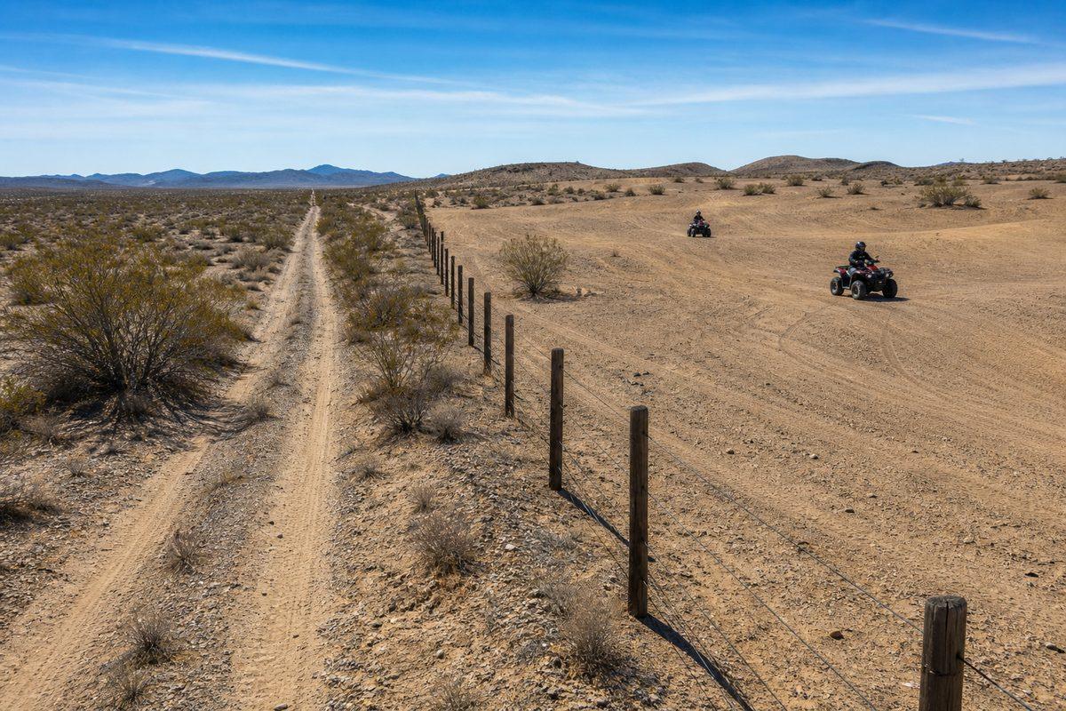
One boundary decides almost everything here, and it is a physical fence. Inside it you ride open desert. Outside it you are on existing roads and trails only, and the ground on both sides looks identical.

The working trip map

Click a place. Get that place.

Every marker identifies the exact planning point and updates the matching detail card. Approximate orientation pins are labeled; official boundaries still control.

Legal riding boundaries and facility restrictions do not come from a web pin. Open the current BLM Hot Well Dunes page, directions, project notices, and full-screen map →

No cell service needed Camp Compass

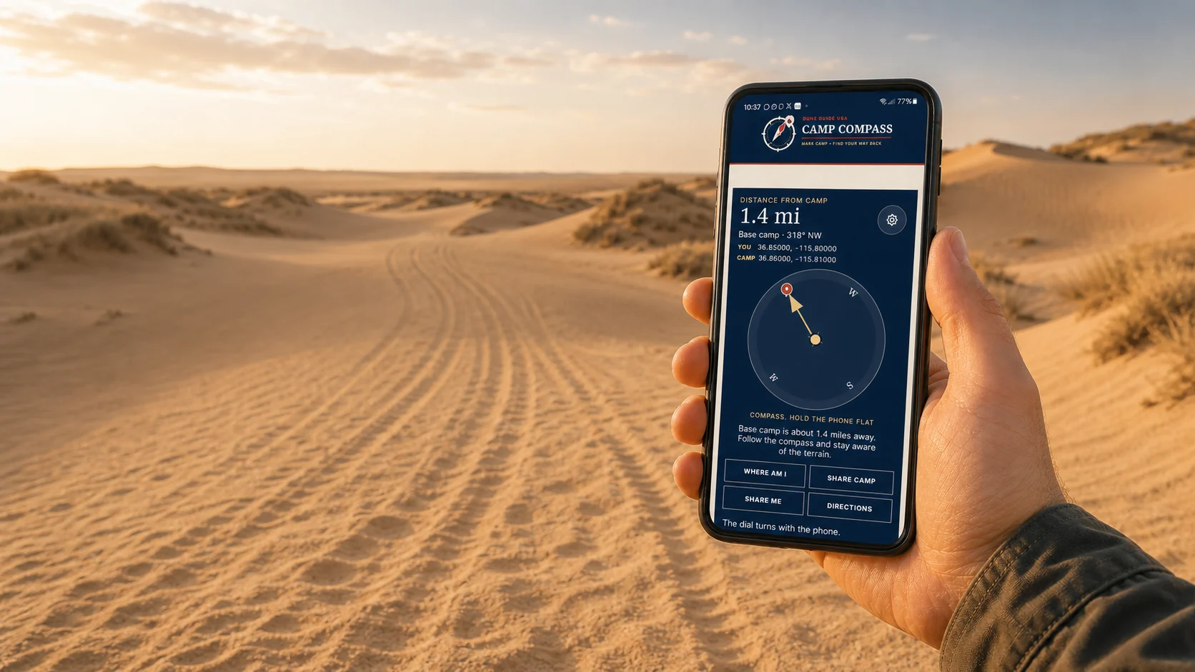
Camp Compass: find your way back.

Getting turned around out here is ordinary, not careless. The rises are low, the brush looks the same in every direction, and the two-track you came in on stops being obvious the moment the light goes flat.

Camp Compass does three things. It marks your camp so you can find it again, it points you back to it using GPS, and it shares your coordinates by text if you need help. The first two work with no cell service at all. Sending needs either cell coverage or a phone with satellite messaging.

  1. Set the location. Stand at the trailer, not fifty yards from it.
  2. Name it. Base camp, the truck, whatever you will recognise at dusk.
  3. If you get turned around, come back here. It gives you the direction and the distance.

This works without cell service. The satellite receiver in your phone listens to GPS and does not need a carrier or a signal bar. Marking camp, reading your position, and getting the direction and distance back all run on the device. Sending a message or opening driving directions are the only parts that need to reach out.

There is effectively no cell service here. BLM says so and visitors report the same: some carriers manage a voice call from the campground, nobody gets usable data. Load this page in Safford while you still have bars. This is where the tool matters most.

The arrow is a straight line, not a route. It points at the coordinates you saved. It does not know about a wash, a fence, a closed area, or a dune face you cannot climb. Use it to orient yourself, then pick a way that works.

Base campNot marked yetStand at the trailer and press Mark this spot.
YouNo fix yetPress Where am I to read the satellites.
Distance backNot yetStraight line over the ground.
Direction backNot yet

Nothing is sent anywhere on its own. The saved spot is stored on this phone only. Sharing is the one thing here that needs to reach the outside world, by cell coverage or satellite messaging. A text will often get through on one bar when data will not.

How Camp Compass works, and why GPS needs no cell signal →

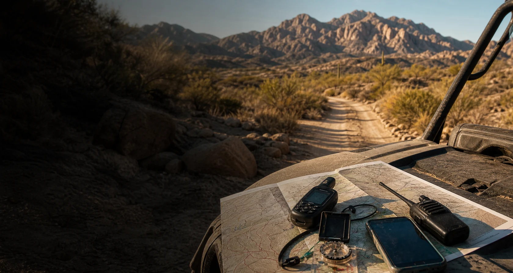
Camp Compass is an orientation aid, not a rescue plan. A phone battery dies, a screen fails in the heat, and a fix can be tens of yards out. Carry a paper map, tell somebody your plan and your return time, and treat a handheld GPS or satellite messenger as the real equipment. If you are lost and low on water, staying put beside a visible machine is usually safer than walking.
A fence separates open OHV riding inside Hot Well Dunes from an existing desert road outside the recreation boundary
AI-generated interpretation of the fenced riding boundary. Use the current BLM map and posted signs for legal decisions.

Inside the fence, and outside it

Inside the fence, BLM allows open riding across roughly 2,000 acres of sandy, rolling terrain within the 2,200-acre Recreation Area. Beyond the fence you stay on existing roads and trails. That is the rule most worth carrying in your head, because nothing about the terrain changes at the boundary and it is easy to cross without noticing. Have the current BLM map on the phone before you need it.
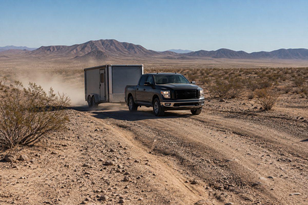
A four-wheel-drive pickup carefully towing an enclosed toy hauler over a rough sandy desert approach road
AI-generated interpretation of rough approach conditions. It is not a photograph of current Haekel Road conditions.

Haekel Road is the way in, and it can be rough

The primary approach is Haekel Road, which is worth checking before arrival, especially with a long trailer or after weather. Tanque Road is the alternate. Travellers coming off I-10 generally route through Bowie. None of these are places to discover a problem, so confirm current conditions rather than trusting a mapping app's estimate of the surface.

Safford is 35 miles behind you

That distance is the single most useful number for planning. It sets how much water and fuel you carry, how long help takes, and how early you should end a day when somebody is struggling in the heat. Everyone in the group should know it before the first ride, not after.

Construction is changing the site

BLM improvement work started in June 2026 and runs into January 2027, covering camping areas, a host site, relocating the hot tubs above flood-damage risk, vault toilets, roads, and walkways. The area stays open, but the layout you find may not match the layout you remember or the one shown on any map. Check the current notice before you tow.

Do not trust a track

A visible trail may leave the recreation area, cross ground you should not be on, or simply end at a wash. Tracks record what somebody else did, not what is permitted. Use the BLM map and posted signs for every decision that involves a boundary.

Mark camp, and expect no signal

Save camp coordinates and share them with every driver and rider before anything moves. There is no telephone service at the recreation area. Download or screenshot the official map, the approach directions, and any current notices while you still have signal in the Gila Valley.

Two maps, and know which is which

The interactive map here is for planning: the campground, the tubs, the riding area, the approaches, and services. BLM's current information is what controls access, fees, closures, and boundaries. Where they differ, BLM is right. Carry both offline.

Verify before travel. Conditions, zones, and regulations can change. Use the responsible agency's current information for final decisions.

Open the official BLM source →
Part of theDUNE GUIDE USA NETWORKIndependent dune guides. One place to start.