Ride the trail that is actually here., Hot Well Arizona Dune Guide

Rock, sand, brush, and rolling rises

Ride the trail that is actually here.

Come for a mixed desert ride with a hot-spring finish, not for a giant bowl field. Knowing that before you load the trailer is the difference between a good weekend and a disappointed one.

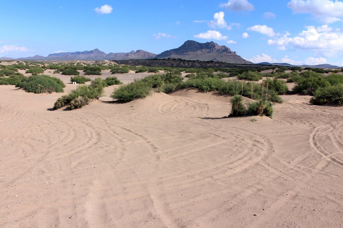
Sandy rolling terrain, desert scrub, and distant mountains at Hot Well Dunes Recreation Area
Photograph: Adam Milnor, Bureau of Land Management, 2015. Public domain. Terrain and facilities may look different during construction through January 2027.

What the terrain actually is

The Recreation Area covers about 2,200 acres, including roughly 2,000 acres of sandy, rolling ground open to riding inside the fence. The surface changes constantly: loose sand, hard-packed two-track, embedded rock, shallow washes, scrub, and modest sandy rises. Some stretches are genuinely rocky and reward picking a line rather than carrying momentum. Others are soft tracked sand where a bike or a smaller machine can carve and climb short faces. It is a desert ride that happens to have dunes in it.
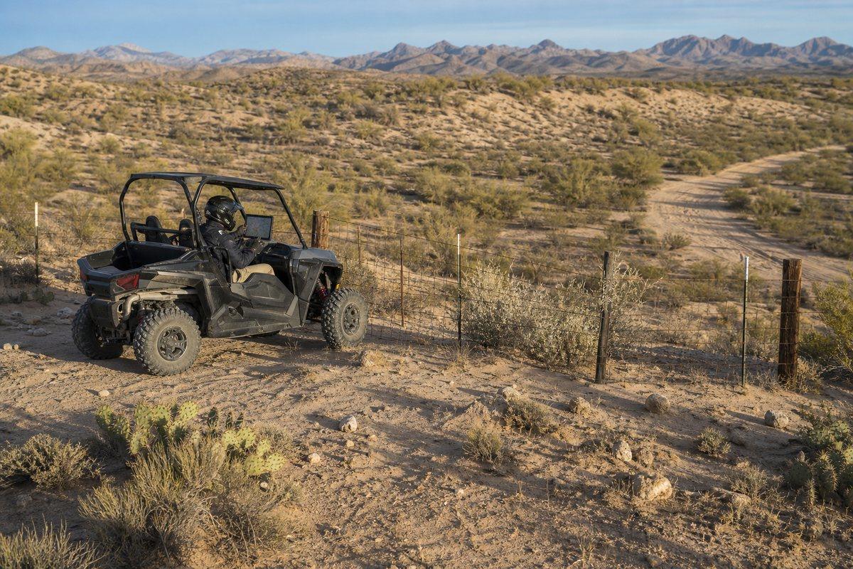
A side-by-side rider stopped inside a desert boundary fence while checking an offline map before continuing
AI-generated interpretation of the boundary decision at Hot Well Dunes. Not a documentary photograph or a legal boundary map.

Inside the fence and outside it

BLM allows open riding within the fenced area. Outside that fence you stay on existing roads and trails. That is the single most important boundary rule here and it is easy to cross without noticing, because the desert on the far side looks exactly the same. Carry the current BLM map and treat the fence as the line it is.

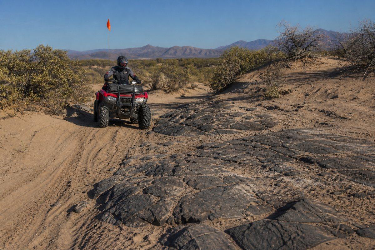
A helmeted ATV rider moving carefully from soft tracked sand onto embedded dark rock in desert scrub
AI-generated interpretation of Hot Well's changing sand-and-rock terrain. Not a documentary photograph of the current site.

Tire load changes by the minute

The mix is the challenge. Pressure that floats you across soft sand is the wrong pressure for embedded rock, and the transition between the two can happen inside fifty yards. Start with an orientation loop, find out what today's ground is doing, and accept that you are compromising rather than optimising.

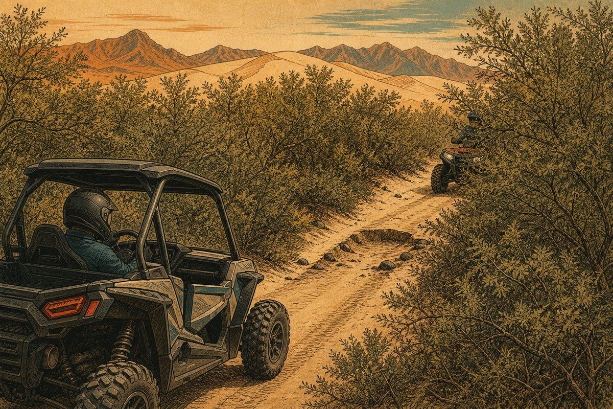
Two riders slow on opposite sides of a brush-lined Hot Well two-track where rocks and a shallow hole are partly concealed
Illustration of limited sightlines on an existing Hot Well trail.

Brush hides more than it looks like it should

Desert vegetation along a trail conceals rocks, holes, and oncoming riders. Slow down wherever the trail tightens. Never use a living plant as a course marker or a berm, because creosote and mesquite take years to recover and the tracks people cut through them are what closures get written about.

The flag has a published spec

BLM asks for a bright red or orange safety flag at least 6 by 12 inches, mounted 8 feet high. That is a specific requirement rather than general advice, so check yours against it. Riders under 18 must wear a helmet on public and state land in Arizona, and everyone should regardless.

It suits a wide range of machines

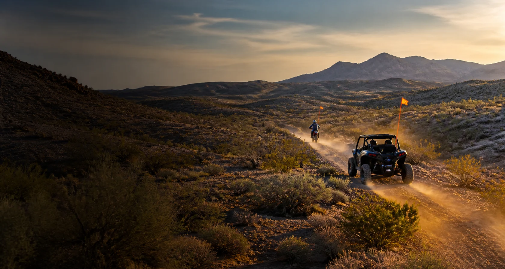
Motorcycles, three-wheelers, quads, sand cars, prerunners, and full-size 4WDs all use this place, which tells you something true about it: the terrain does not demand one kind of vehicle. It also means the traffic around you is mixed in speed and sightline, so ride expecting something very different from you around the next bend.

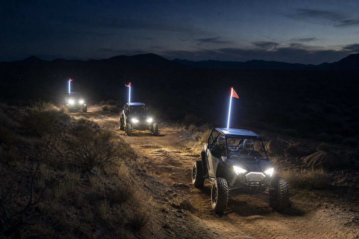
Three helmeted side-by-side crews staying together on a rocky sandy desert trail after dark
AI-generated interpretation of responsible group night riding in mixed desert terrain. Not a documentary photograph of Hot Well Dunes.

Night riding, with eyes open

People do ride here after dark and it is part of the local pattern. If you join in, that means real lighting rather than stock pods, a group that stays together, working communication, and navigation you can trust when every rise looks identical. Depth perception on sand at night is worse than anyone expects, and the rocks do not move out of the way.

Verify before travel. Conditions, zones, and regulations can change. Use the responsible agency's current information for final decisions.

Open the official BLM source →
Part of theDUNE GUIDE USA NETWORKIndependent dune guides. One place to start.